Tamil Nadu Wetlands Mission
Advanced Drone-Based Mapping & GIS Analysis of Ramsar Sites
Pioneering Wetland Conservation Through Technology
The Tamil Nadu Wetlands Mission represents a comprehensive initiative led by the Tamil Nadu State Wetland Authority to conduct advanced drone-based mapping, bathymetric surveys, and GIS analysis of Ramsar-designated wetland sites across the state.
This groundbreaking 12-month project brings together state-of-the-art technologies including RGB drones, LiDAR scanning, hyperspectral imaging, and bathymetric survey equipment to create the most comprehensive wetland database in Tamil Nadu's history.
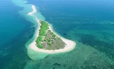
 Panoramic view of wetland ecosystem
In the Field
Capturing comprehensive wetland data through advanced surveying technologies and expert field teams.
 Expert teams conducting on-site surveys
Field Survey Operations
Expert teams conducting on-site surveys
 RGB and hyperspectral imaging in progress
Drone Data Collection
RGB and hyperspectral imaging in progress
 Underwater terrain mapping equipment
Bathymetric Surveys
Underwater terrain mapping equipment
 High-precision elevation data capture
LiDAR Scanning
High-precision elevation data capture
 Advanced spatial data processing
GIS Analysis
Advanced spatial data processing
 Multi-disciplinary wetland assessment
Team Collaboration
Multi-disciplinary wetland assessment
Advanced Survey Technologies
State-of-the-art equipment delivering precision data for comprehensive wetland analysis.
 High-Resolution Multispectral Topographic Mapping
Professional drone systems with multispectral cameras capturing high-resolution imagery with 5-7 Ground Control Points per square kilometer for exceptional accuracy.
Advanced 3D Elevation & Terrain ModelingCutting-edge LiDAR technology generating Digital Elevation Models (DEM), Digital Surface Models (DSM), and Digital Terrain Models (DTM) with precision positioning.
 Multi-Band Spectral Data for Biodiversity Mapping
Advanced hyperspectral imaging systems capturing detailed spectral signatures for comprehensive biodiversity assessment and habitat mapping using machine learning techniques.
Multi-Beam Underwater Terrain MappingIndustry-standard multi-beam surveying, bottom profilers, and acoustic doppler current profilers for accurate underwater terrain modeling and stream-flow analysis.
Four Major Wetland Sites
Comprehensive surveys across Tamil Nadu's most significant Ramsar-designated wetland ecosystems.
Covering 20 islands including Krusadai, Muyal, and Nallatanni, this marine biosphere represents one of the most biodiverse areas with comprehensive coral reef and seagrass studies.
- • Coral reef pattern mapping & subsurface profiling
- • Seagrass distribution zones & root analysis
- • Marine biodiversity & seaweed potential zones

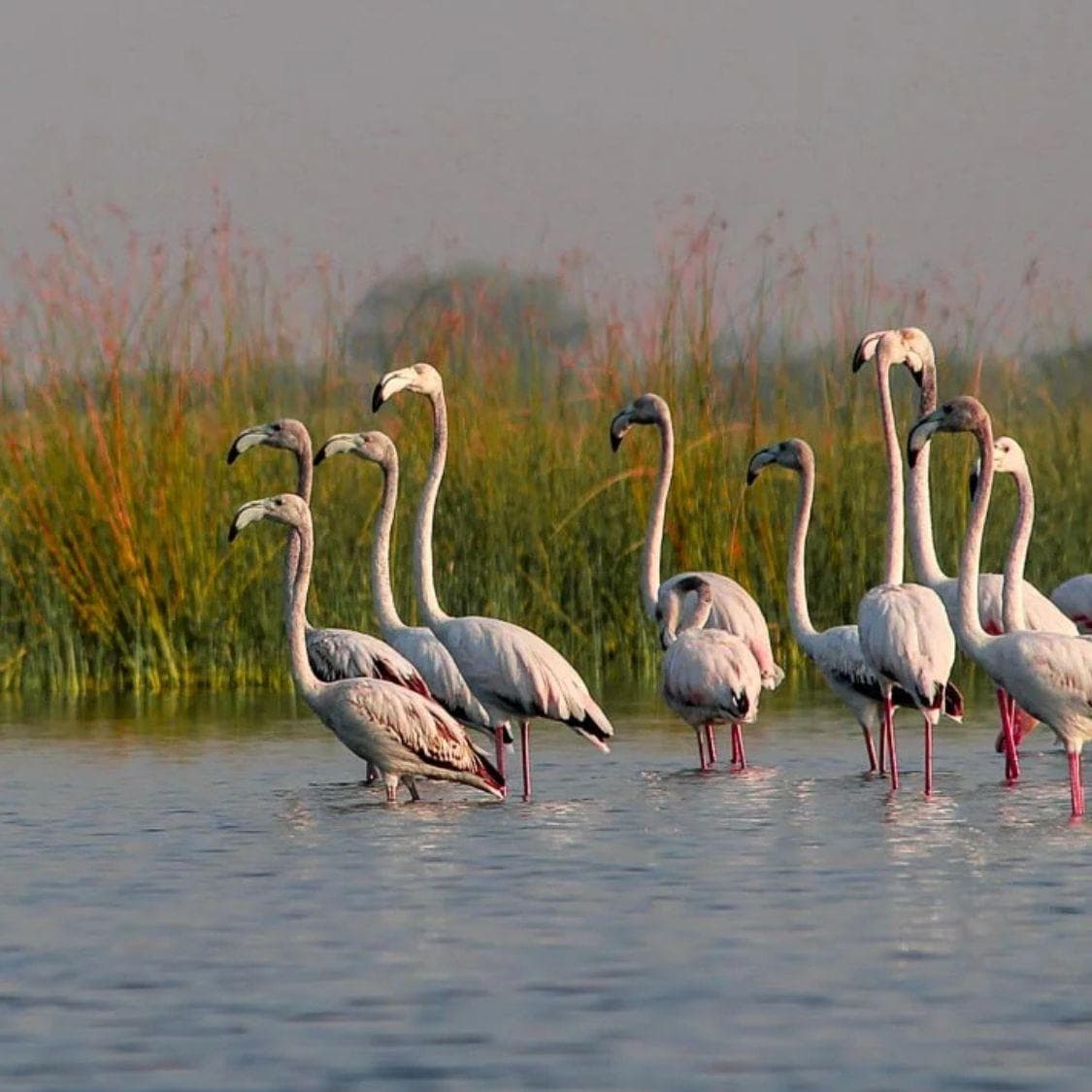
The largest survey area in the mission, this critical habitat supports migratory birds and requires extensive seasonal monitoring for conservation planning.
- • Migratory bird habitat characterization
- • Seasonal wetland variation analysis
- • Seagrass studies & coastal ecosystem mapping
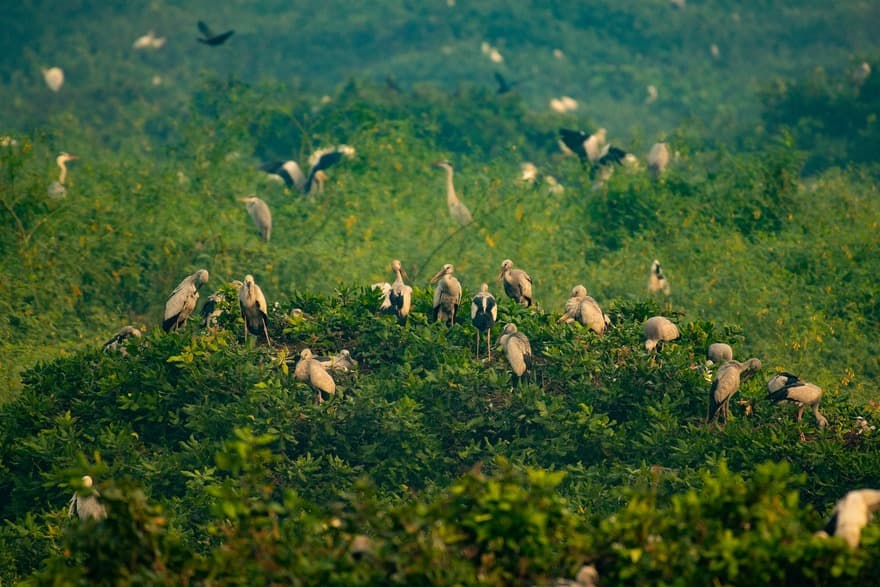
An important bird sanctuary requiring detailed biodiversity assessment, habitat mapping, and vegetation analysis for avian conservation efforts.
- • Bird habitat characterization & nesting zones
- • Vegetation health & biomass analysis
- • Water level & hydrological monitoring
A compact but ecologically significant sanctuary requiring high-precision intensive mapping and detailed biodiversity density analysis.
- • Intensive area mapping with high GCP density
- • Biodiversity density & species richness analysis
- • Compact wetland ecosystem characterization
Dual Seasonal Approach
Capturing wetland dynamics across pre-monsoon and post-monsoon periods for comprehensive analysis.
Phase 1: Pre-Monsoon Survey
August - September Period
Initial comprehensive drone, LiDAR, hyperspectral, and bathymetric surveys conducted across all four wetland sites. Establishes baseline data for seasonal comparison.
 August - September PeriodContinuous Processing
Phase 2: Data Processing & Analysis
Continuous Processing
Advanced GIS analysis, machine learning-based species detection, SWAT hydrological modeling, and comprehensive report generation from pre-monsoon data.
Phase 3: Post-Monsoon Survey
January - February Period
Repeat comprehensive surveys to capture seasonal variations, monsoon impact, sedimentation changes, and biodiversity shifts across all wetland sites.
 January - February Period
 Comprehensive Documentation
Phase 4: Final Analysis & Reporting
Comprehensive Documentation
Final reports covering both seasons with high-quality images, comparative analysis, 10 hardcover copies per site (A3, 160 GSM), and complete data delivery.
Comprehensive Data Outputs
Industry-standard formats for seamless integration with existing GIS workflows and analysis tools.
 .las, .laz
.las, .laz
 .tiff, .ecw
.tiff, .ecw
 .obj, .tiff (DEM/DSM/DTM)
.obj, .tiff (DEM/DSM/DTM)
 .shp, .dwg, .pdf
.shp, .dwg, .pdf
 Depth & Elevation Data
Depth & Elevation Data
NDWI, NDVI, Mangrove IndexNDWI, NDVI, Mangrove Index
.pdf - Flight Details & Metadata.pdf - Flight Details & Metadata
A3 Hardcover, 160 GSM, 10 CopiesA3 Hardcover, 160 GSM, 10 Copies
Data Delivery
Physical Storage
All raw and processed data provided on HDD/SSD drives
Server Deployment
Deployment onto Tamil Nadu Wetlands Mission local server
Complete Inventory
Proper metadata and data inventory documentation
Advanced Spatial Analysis
Comprehensive GIS analysis with minimum 300-meter buffer zones around each wetland site.
NDWI, NDVI, and Mangrove Index creation using multispectral data
300m buffer zone land use and land cover analysis
Pre/post-monsoon comparison for silt and sludge deposits
SWAT model for water levels, flow rates, and risk assessment
Machine learning-based detection and monitoring
Flora, fauna surveys and vegetation health analysis
Cadastral data integration with Survey of India control points
Coral reef patterns and seagrass distribution mapping
Technical Excellence
Survey Standards
- 5-7 Ground Control Points per square kilometer
- CORS network and DGPS base station establishment
- Alignment with Survey of India control points
- DGPS observation: 48 hrs base, 15 min rover
Legal Compliance
- Cadastral data integration from authorized sources
- Survey numbers and sub-division mapping
- 300-meter buffer zone boundary demarcation
- National geodetic standards compliance
 Empowering Scientific Wetland Management
Empowering Scientific Wetland Management
This mission empowers the scientific management, preservation, and sustainable use of Tamil Nadu's globally significant wetlands through modern geospatial approaches and transparent reporting.
Scientific Conservation
Evidence-based wetland management using comprehensive geospatial data
Ramsar Site Protection
Advanced monitoring of internationally recognized wetland ecosystems
Stakeholder Transparency
Secure data delivery and accessible reporting for all partners
Sustainable Future
Long-term biodiversity preservation and ecosystem health monitoring